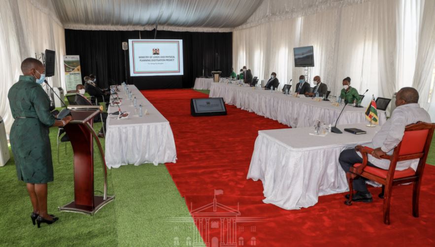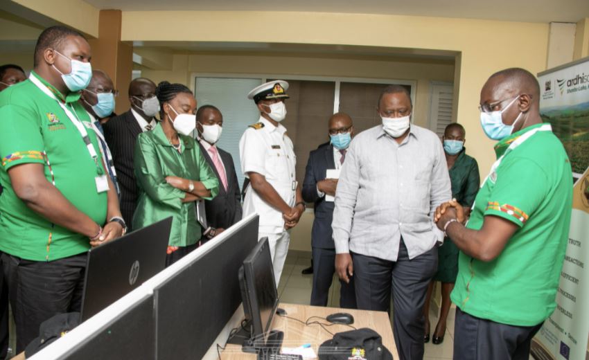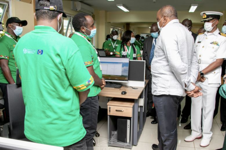

 President Uhuru Kenyatta on Tuesday unveiled Ardhisasa, a digital land information management system(NLIMS), marking the end of manual land transactions in Nairobi.
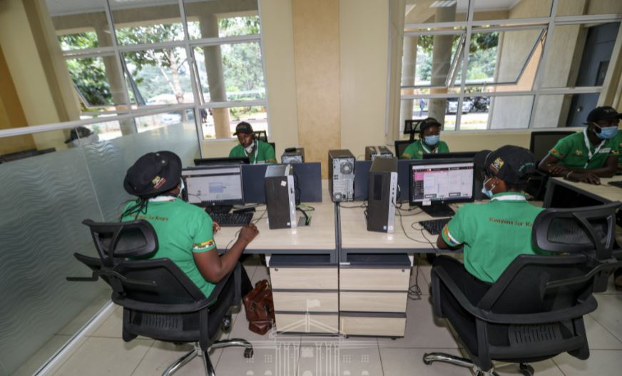
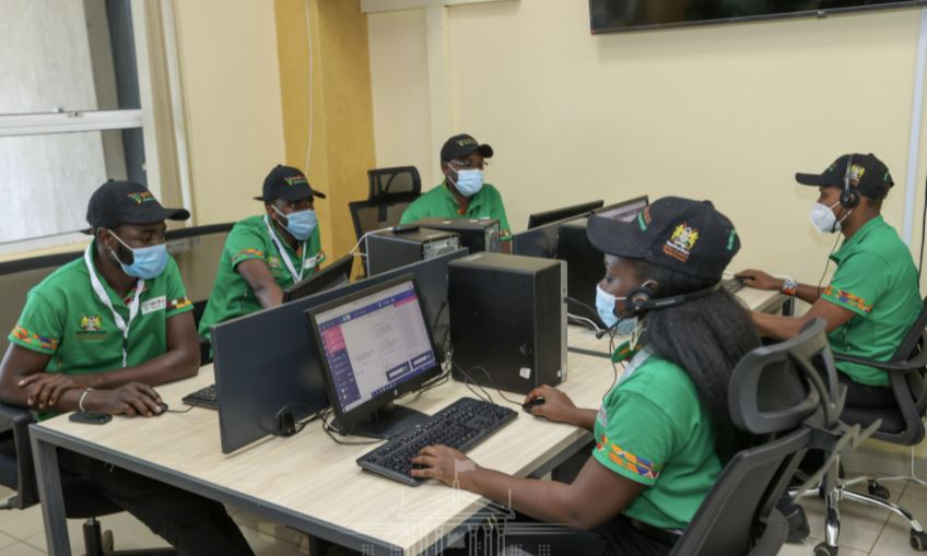
The new system was developed by a team of Kenyan techies over a three-year period and is designed to enhance the security of land records, speed up land transactions and curb fraud.
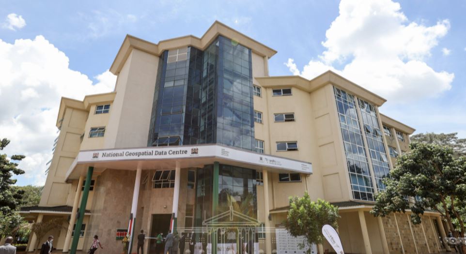
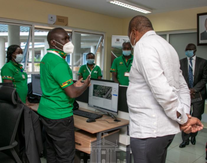
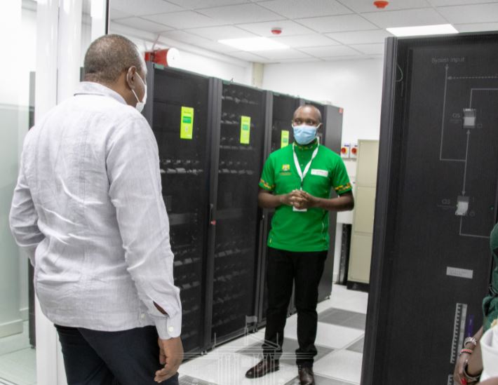
Speaking when he unveiled the new system at the National Geospatial Data Centre in Nairobi, President Kenyatta told Kenyans that the digital platform will protect them from exploitation by cartels, middlemen and fraudsters.
“With the advent of ArdhiSasa, missing files, perennial fraud, corruption and illegal land transactions will be a matter of the past.
“The full rollout of the programme will facilitate the resolution of historical land disputes and guarantee the security and sanctity of your land title deed, true to the clarion Shamba Lako, Hati Safi, ” President Kenyatta said.
With today’s unveiling of Ardhisasa, the manual lands information management system in Nairobi has been vacated. However, land owners who might not be able to access their records are advised to be patient as the Ministry of Lands continues to populate the digital platform.
“As we transition fully into the National Land Information Management System and to safeguard public interest in this national endeavour, I call on all Kenyans to co-operate when called upon by the Ministry of Lands and Physical Planning to provide any information required to conclude the validation of any land records,” the President urged Kenyans.
President Kenyatta welcomed the full digitization of the Nairobi lands registry saying the exercise will be extended to the rest of the country in a phased and gradual manner.
“Another 20 counties will be onboarded into the digital system by the end of the year. We project that all the counties will be covered by the end of 2022,” President Kenyatta said.
The Head of State further pointed out that the new digital platform will benefit all landowners and potential landowners by providing accurate information required to support the commercialisation of land in a convenient and timely manner.
Ardhisasa project also saw the production of Kenya’s first digital topographical map and those of the nation’s 47 counties, as well as a cadastral map for Nairobi City County.
The cadastral map enables the Ministry of Lands and Physical Planning to start the process of migration to a unitary regime for land registration in order to curb fraud and cut transaction time.
“It is also notable that public land has been separated from private land; and all public land in Nairobi has now been indexed, documented and safeguarded for public use,” the President said.
President Kenyatta commended the team of young Kenyans who for the last three years worked to build and deploy a world-class system at a fraction of the cost previously used to finance unsuccessful attempts at digitization.
“Your place of honour in the annals of our history is guaranteed and your contribution to moving the nation forward is immortalized through the work of your hands.
“You have demonstrated once again that we can rely on home-grown solutions to develop our country; and underscored the cost-effectiveness of working together as one indivisible Government of Kenya,” President Kenyatta praised the young Kenyans.
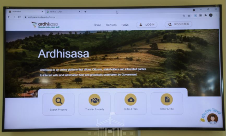
Lands CS Faridah Karoney said the digital platform will offer a one-stop-shop for all Government services and information on land.
On his part, Lands PS Dr Nicholas Muraguri said Ardhisasa platform will enable Kenyans to initiate and track land transactions from the comfort of their homes or offices using mobile phones or computers.